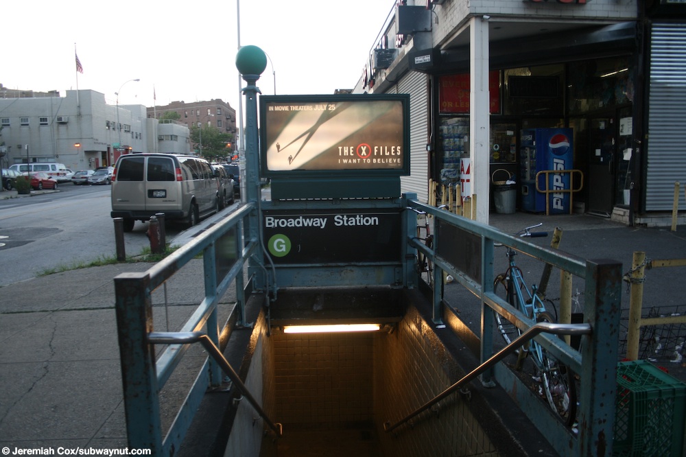
Broadway


Broadway is an Crosstown Line subway station, with its exits directly beneath the Broadway (Brooklyn) elevated used by J,M,and Z trains although a free in system transfer has never been built or provided. Transit advocates have asked for a free MetroCard out of system transfer to Lorimer Street (slightly closer) or Hewes Streets, both have entrances a block from the station, but this free MetroCard transfer has only been implemented when major construction projects have effected regular subway service. This included to Lorimer Street only from July 25, 2014 through September 2, 2014 when the Greenpoint Tubes under Newtown Creek were closed for post-Superstorm Sandy repairs, and during late nights and weekends to both Lorimer Street and Hewes Street from April 2019 until May 31, 2020 during the 14th Street Tunnel shutdown while L train service was severely reduced between Manhattan and Brooklyn.
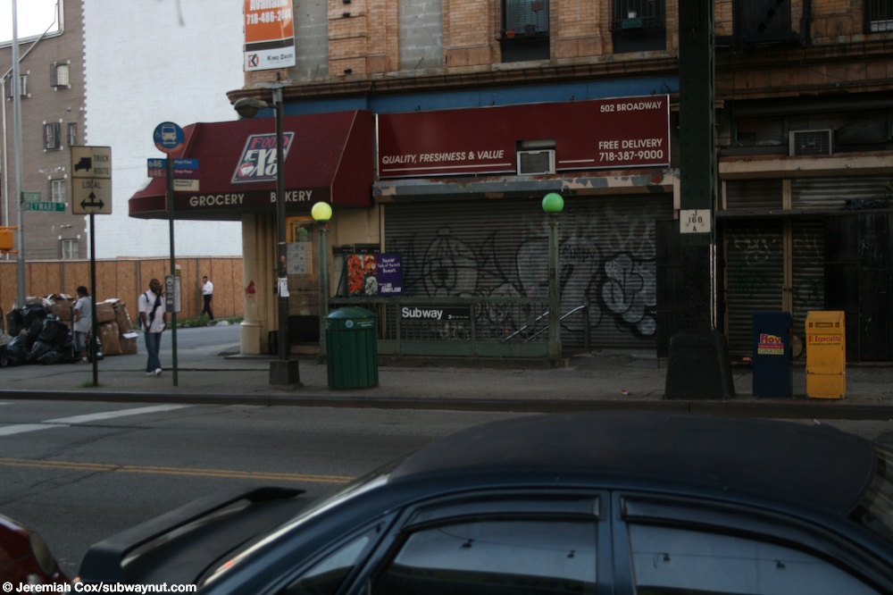
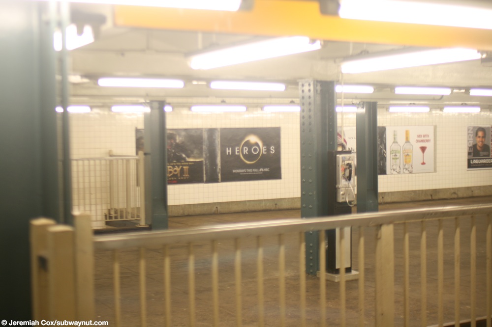
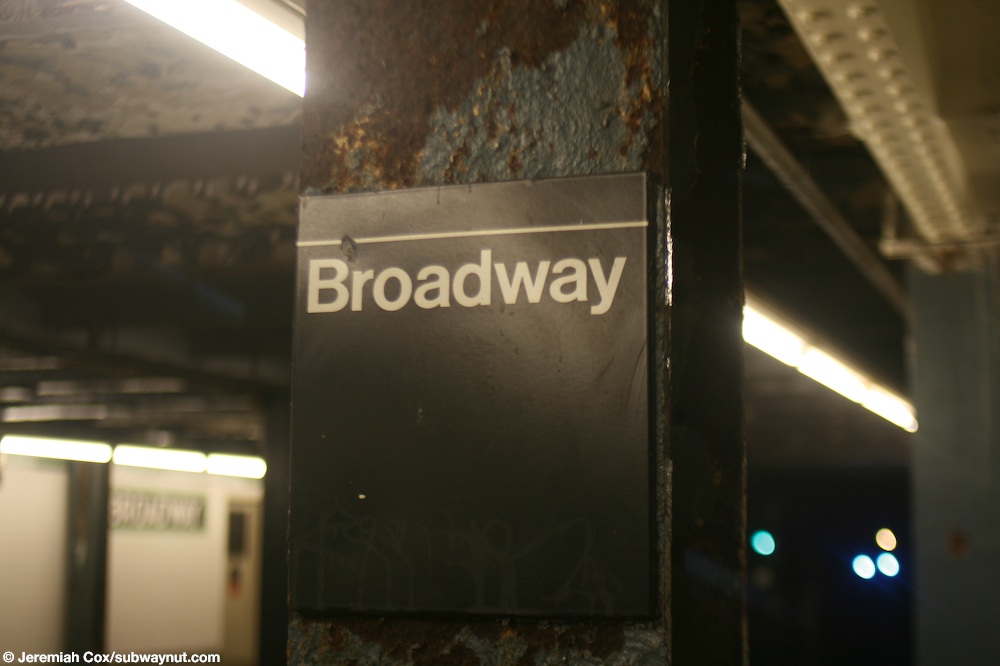
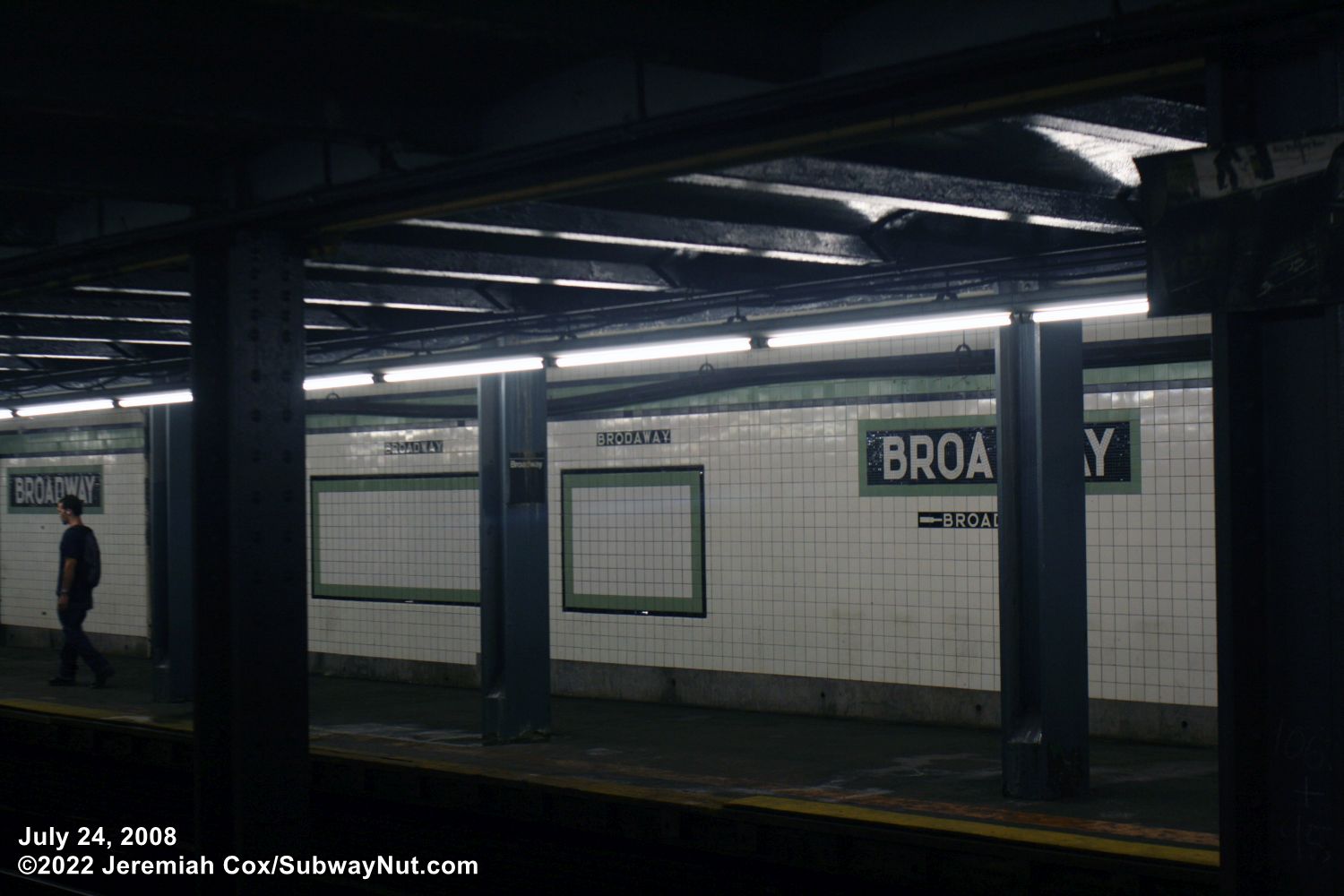
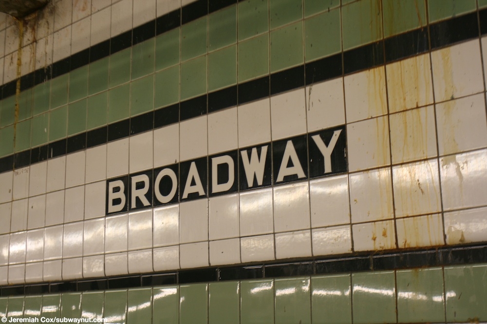
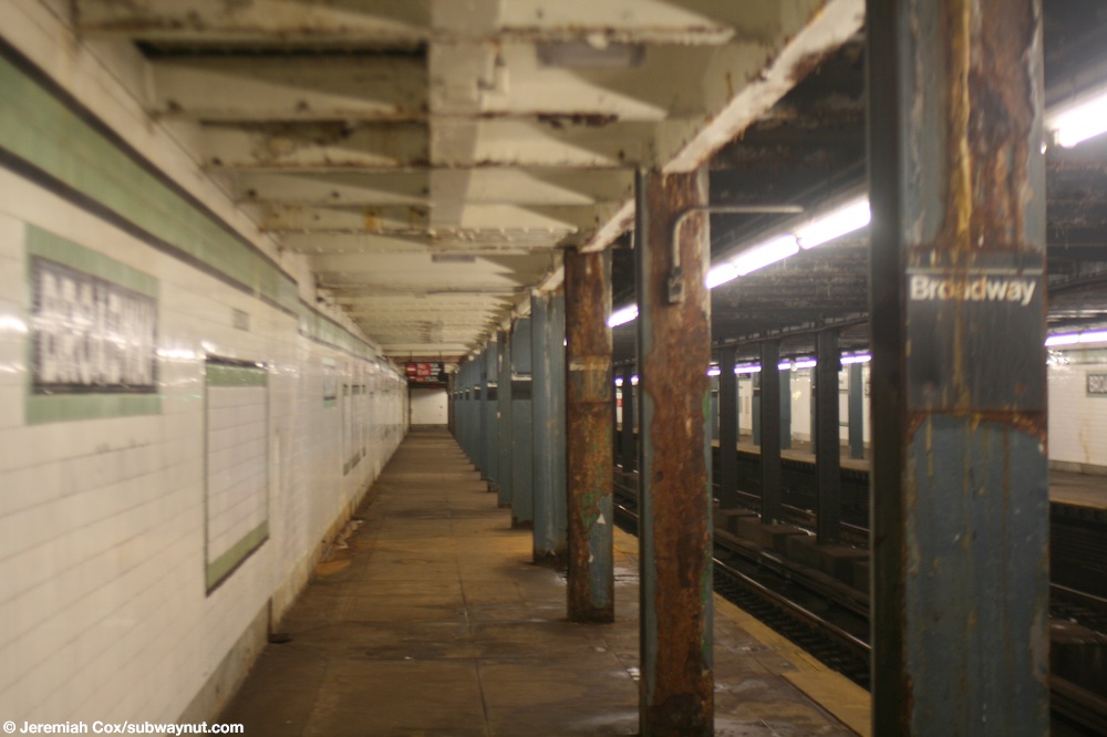
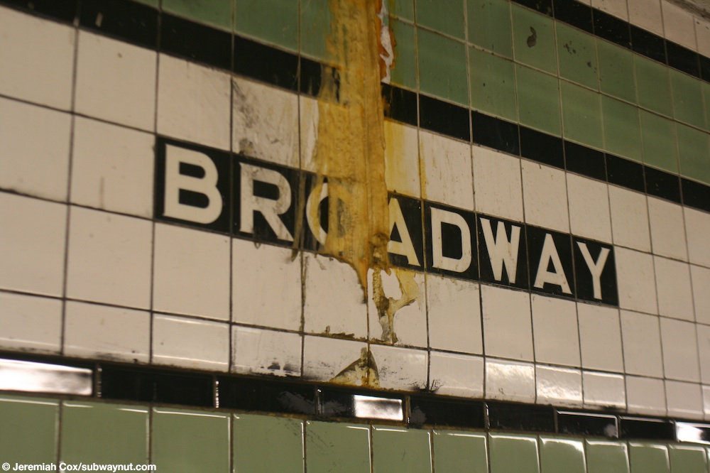
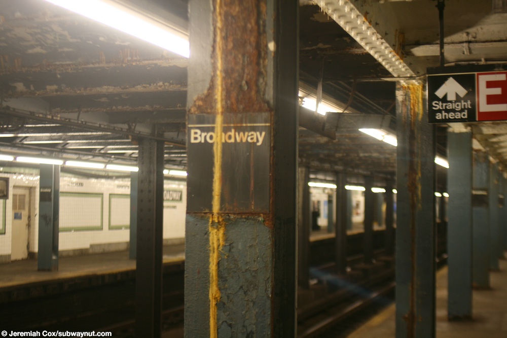
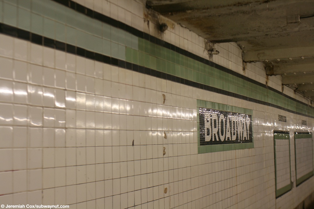
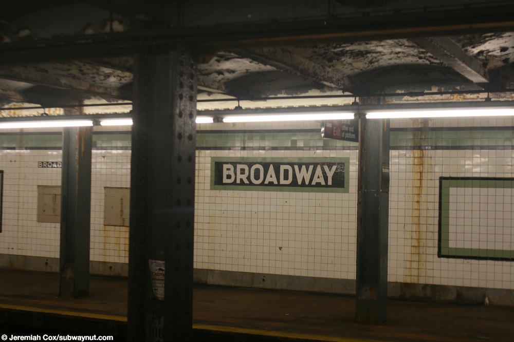
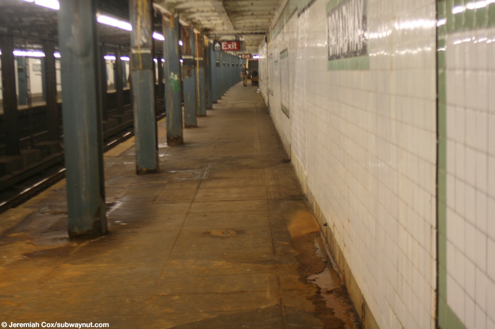
The station is one of the many G train stations that is in quite bad shape and needs a renovation. This is quite the opposite to those nearest at Lorimer St and Hewes St on the Broadway Elevated, both of these stops were rehabilitated in 2001. The station has two side platforms for the two-track line. The station has the standard green name tablets and trim like all of the other crosstown line stations. The columns are currently painted with turquoise, peeling paint. Broadway is written in black one tile beneath the trimline. One trimline name tiling is incorrectly spelled "Brodaway" an error made when the station opened in 1937 that the MTA has said will not be corrected.
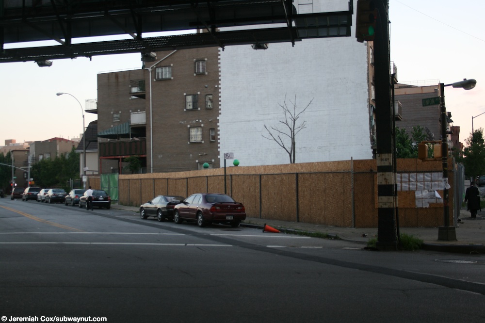
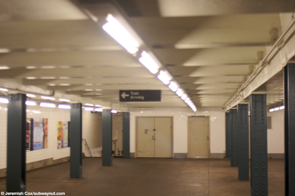
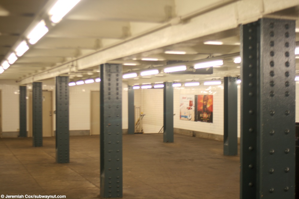
The stop was built originally with a full length mezzanine but today only the southernmost portion of the mezzanine is open to passengers, with the rest of the mezzanine is closed off by two sets of doors and used as a storage area. Two open staircases (the rest of the staircases up from the platforms have been removed) lead up to a single open fare control area at the southern end of the mezzanine. Here streetstairs lead up with short passageways at odd angles (this is a complicated 5-way intersection) to the NE corner and SE corners of Broadway & Union Street and the SW corner (through a bit of a passageway) of Broadway and Heyward Street. A former streetstair to the SW corner of Broadway and Union Street is still visible on the surface of the street but has been closed for at least the last 15 years, originally because of the construction of a new building but it's remained closed after that building was completed in the early 2010s.
The mezzanine continues, closed to the public and is where the station could have some really interesting passageways if portions of the mezzanine and exits were ever reopened. Above the middle of the platform is a slabbed over streetstair previously to the NE corner of Johnson Avenue and Union Avenue. Next the mezzanine splits into two levels with a new upper mezzanine and wide staircase up from the lower mezzanine, here is a former fare control area (that I think was open more recently than the one to Johnson Avenue and Union Avenue) with slabbed over streetstairs up to the NE and SE corners of Montrose and Union Avenue, plus the NE corner of South 5th Street at what is another complicated 5-way intersection.
Next, two additional staircases at the end of the G train platform (that have been cinder blocked over, there was originally just fencing to prevent trespassers), lead up to a wide staircase and a longer mezzanine passageway that continues, north of the station platforms to the provisional shell of a station on the South 4th Street Subway, an unbuilt subway of the IND second system. This shell of a station was designed to be part of the South 4th Street 6 track truck line, connecting to three different tunnels into Manhattan east of the station and extensions to a Utica Avenue subway and additional subway lines to the Rockaways and all the way to the border with Nassau County in Queens. This proposed subway is the reason the West 4th Street station in Manhattan is named West 4th Street and not just 4th Street. This abandoned station gained worldwide attention in 2010 when 103 street artists from around the world trespassed without the MTA's permission illegally to create the Underbelly Project with murals along the abandoned station walls. These artists led the MTA to re-harden the former staircases with cinderblock walls, and also increased police patrols in the area to deter urban explorers from trespassing into the unbuilt station area. There was once an open passageway through this area that led to streetstairs up to the NW corner of South 4th Street and Union Avenue, and the NE corner of Messerole Street and Union Avenue (just across the street).
Photos 1-18: July 24, 2008