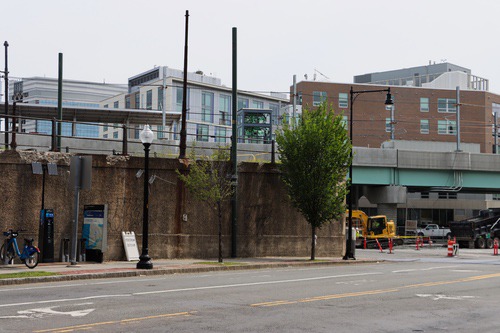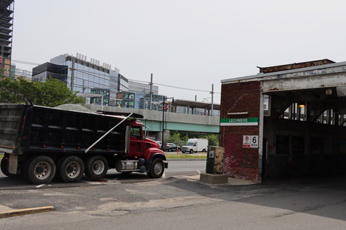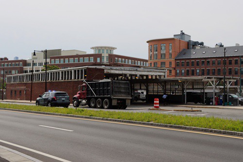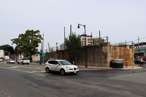
Looking across at the former concrete incline used by Green Line trains to reach their elevated structure. The elevated structure is gone, this is what remains
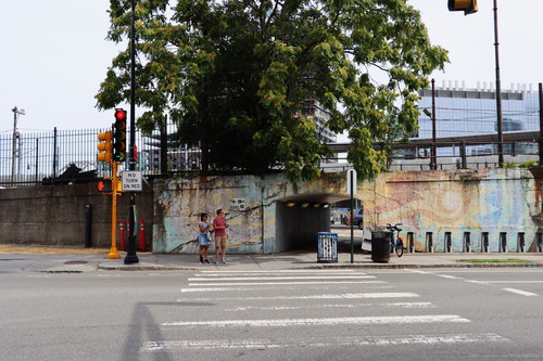
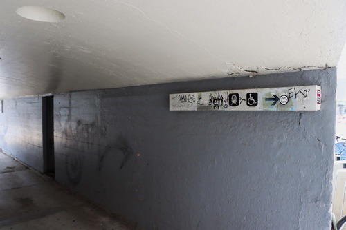
The tunnel for pedestrians through the former concrete incline structure is still usable just no more trains overhead
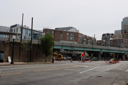
The end of the old concrete viaduct and new guideway that looks a lot more like a concrete highway guideway than the older steel guideway
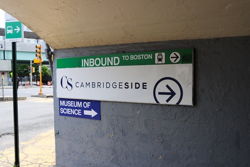
Sign for Inbound To Boston Trolley, under a sign for CambridgeSide (a nearby mall), plus a summer sign for the Museum of Science
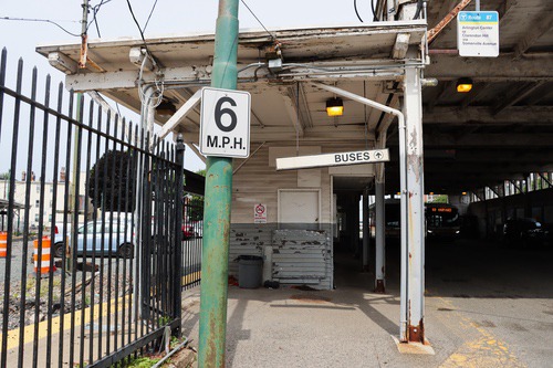
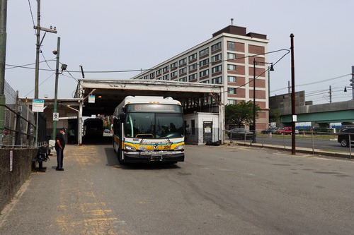
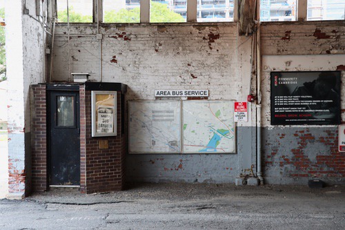
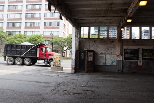
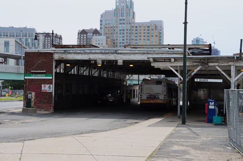
A 6mph sign at the entrance of the covered busway, once used by trolleys and later trackless trolleys
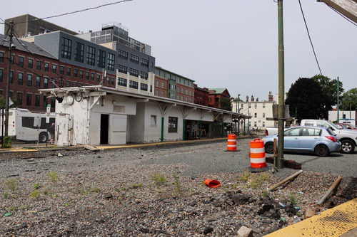
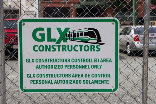
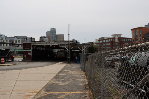
Looking out to the former Inbound Green Line station building, the building remains, all tracks are gone, contractors’ cars parked in the former yard
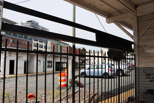
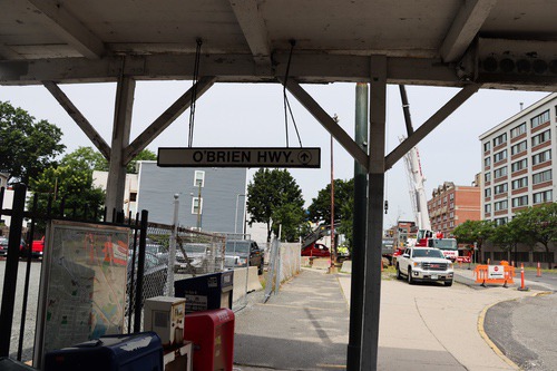
Looking through a fence at the former Inbound Green Line station building, and modern buildings beyond
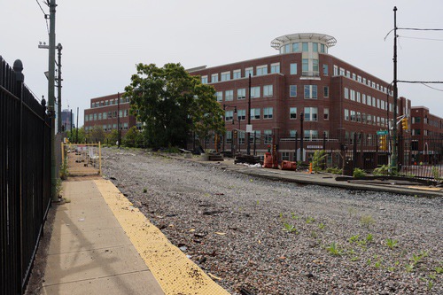
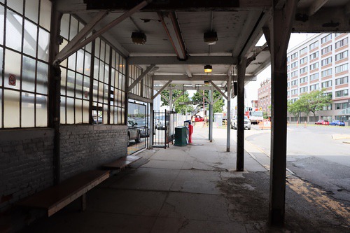
The former Drop-Off platform (still a yellow line) no tracks for former discharging Green Line trolleys
