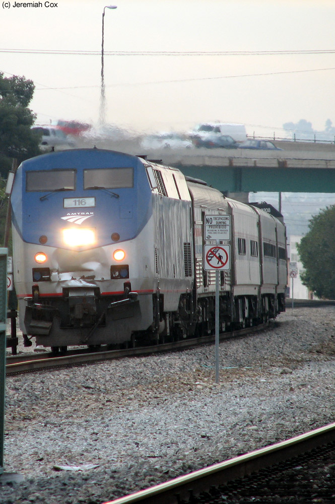
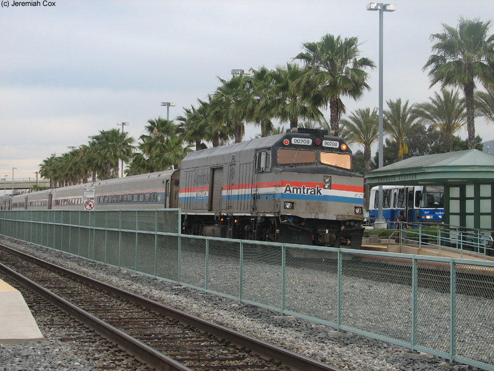
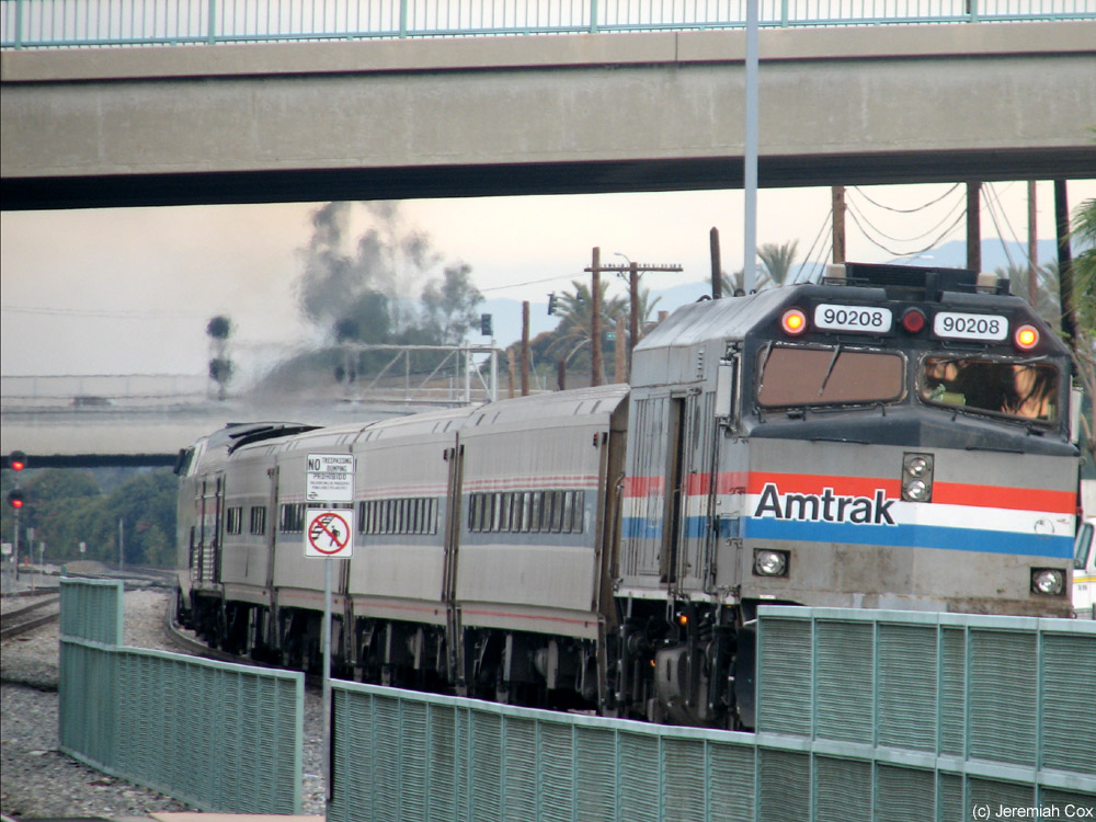
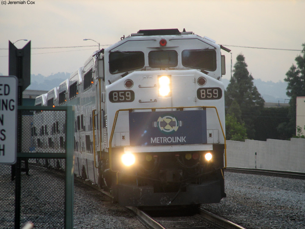
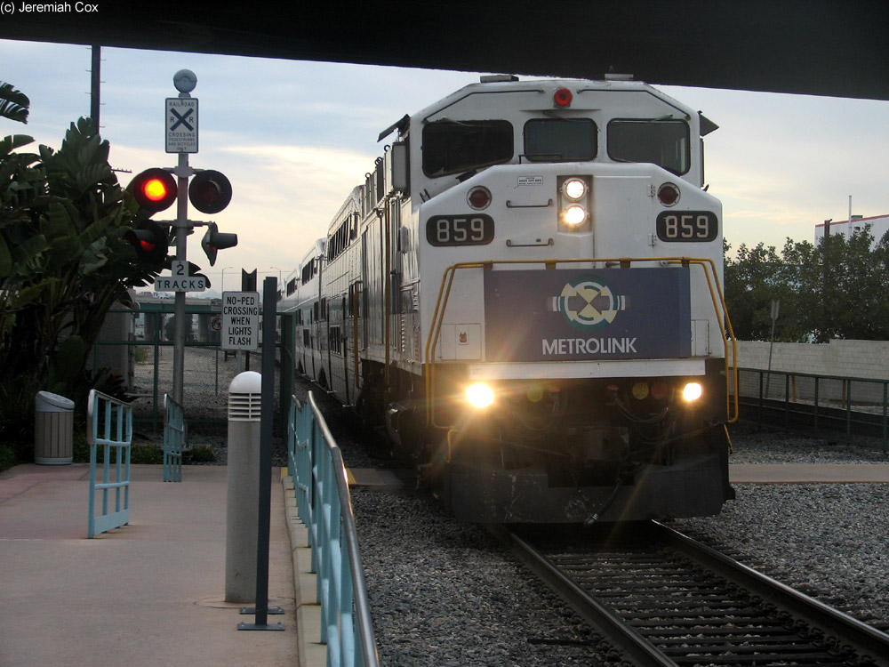
Trains began stopping at Downtown Burbank (station signs just say Burbank) with the first day of regular Metrolink service on October 26, 1992. As of 2012, it receives 29 inbound and 30 outbound trips to and from Los Angles per weekday, ten of these round-trips are on the Ventura County Line, 14 are on the Antelope Valley line and the rest are scoots between Union Station and Bob Hope Airport. There are six Antelope Valley round-trips on Saturdays and three on Sundays. Amtrak Pacific Surfliner and Coast Starlight trains all bypass the station except for the first morning southbound Surfliner Amtrak train #768 that stops at the station as part of the Rail 2 Rail program. This one trip (and an outbound one that doesn't stop at Downtown Burbank) accepts all Metrolink (not just monthly) tickets. The stop is only stopped at for Metrolink patrons with Amtrak not listing the station as a stop in Arrow so I don't consider it an actual Amtrak station, it doesn't appear in the . Connecting bus service directly at the station is from BurbankBus blue and pinkroutes, Glendale Beeline Metrolink Line, and seven local Metro Bus Routes.
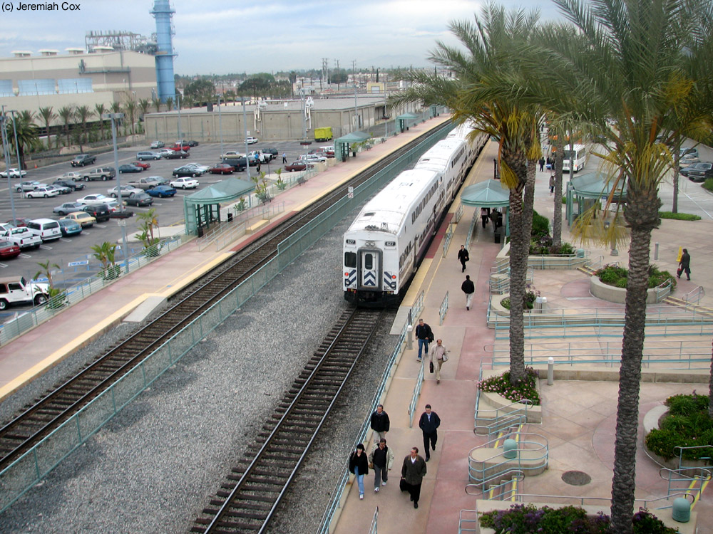
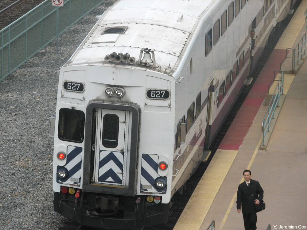
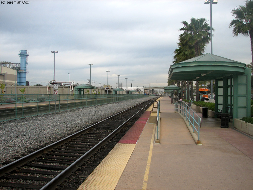
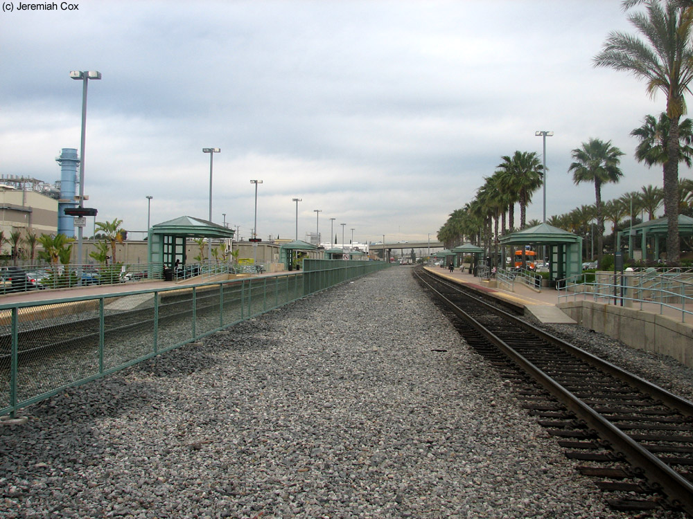
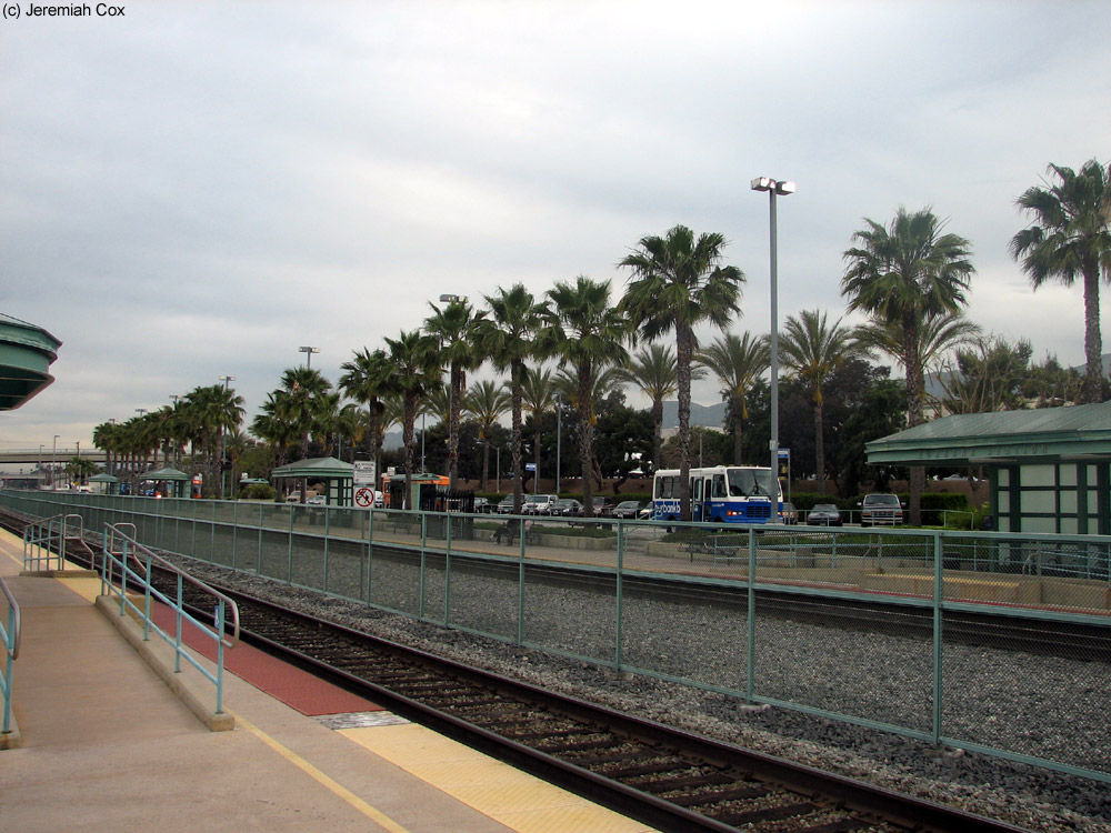
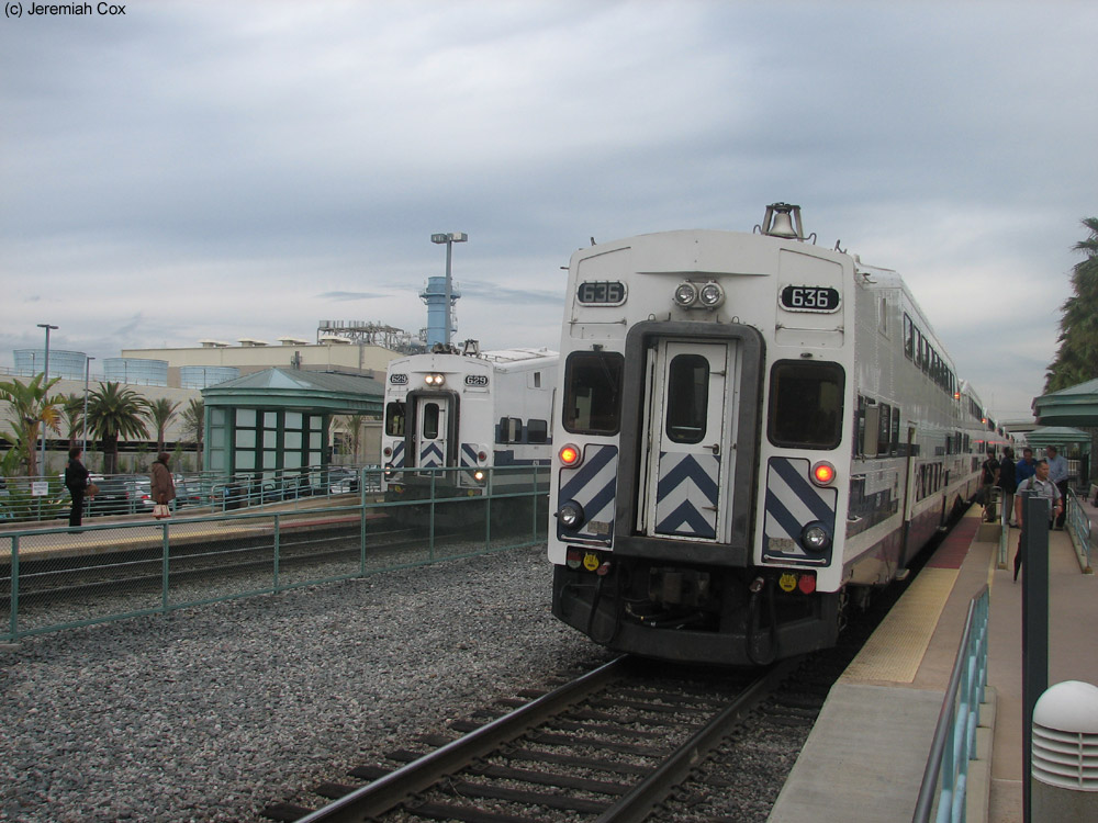
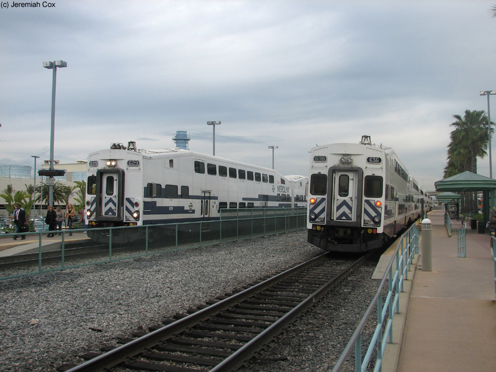
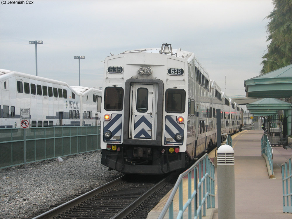
The current permanent station was dedicated on July 16, 1998 as a plaque says. The station is located along Front Street below the Golden Sate Freeway. The station has two side platforms that begin and run north from the overpass of Olive Avenue above the station and I-5. The tracks have a fence between them and a pedestrian grade crossing with a bell/light post at either end of the platform. Each of these platforms has four little green shelters with windscreens behind them covering benches. The station stop is announced to passengers from silver letters (spelling just Burbank Station) on top of these shelters. The west platform, for track 2 for trains to Los Angeles, is secondary and the main parking lot for the stops 450 total spaces is along it.
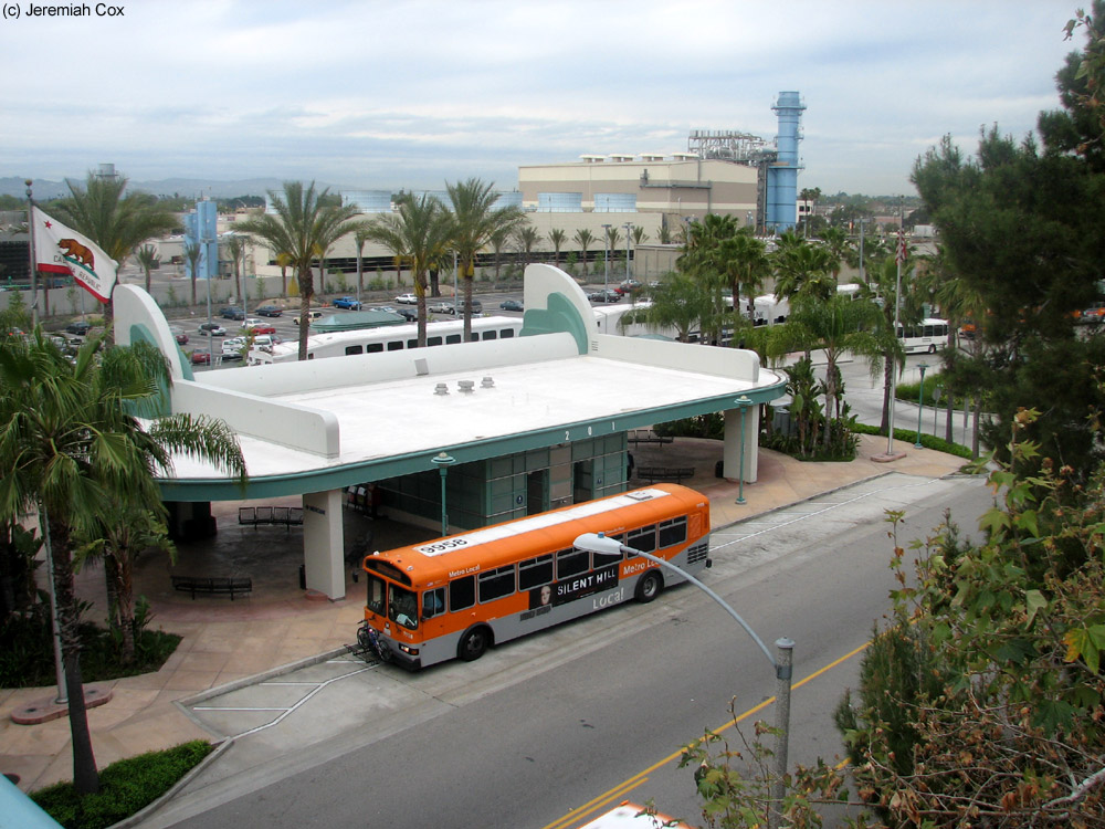
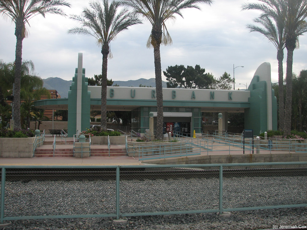
The east platform contains the station's bus loop and two more parking lots sweeping north. At the southern end of this platform is where the main pedestrian access is to Downtown Burbank (across I-5) with first a staircase around an elevator on the north side up to the Olive Avenue overpass and a back-up long wheelchair ramp on the southside farther away from the station. This is where the station house is for the intermodal station. There is not an indoor waiting area but a green open air canopy building with restrooms (doors directly from outside), a portion houses the Burbank Bike Stop, an indoor bike parking area and repair stand, and a vending area out to the open air (still closed and gated off on a Saturday morning).
Photos 1-27 taken on 14 April, 2006, 28-46 on 25 February, 2012


 Burbank Airport - South
 Burbank Airport - North